Saikeri · Kajiado County
Mount Suswa volcanic country

Two hundred and forty metres of lava-cave country.
Then water at three hundred.

At Saikeri, in the shadow of Mount Suswa, the upper formation is laced with lava-tube caves from the volcano's long history. Drill into them and the cuttings simply vanish — swallowed by voids in the rock. Many crews read that silence as failure and stop. The hydrogeological survey told us a different story: keep going past 240 metres. Kisima drilled to 300 metres through cave after cave, broke into the production zone, and confirmed 6 cubic metres per hour — water now powering livestock and small-scale agriculture on the savannah.

Suswa volcanic complex 300 m drilled 6 m³/hr confirmed Livestock + agriculture
300 m Total depth
0 – 240 m Cave-pocketed volcanic
240 – 300 m Production aquifer
6 m³/hr Livestock + irrigation
The Suswa effect

Mount Suswa left more than mountains. It left caves.

Mount Suswa is one of Kenya's youngest volcanoes — a double-caldera giant in the southern Rift Valley, half an hour as the crow flies from Saikeri. Its eruptive history left the surrounding landscape with one of the most famous lava-tube cave systems in East Africa: long, hollow tunnels formed where lava drained out from under cooling crusts.

That same volcanic plumbing extends underground for kilometres. Saikeri sits on top of it. The upper 240 metres of the borehole are drilled through volcanic rock that is, geologically speaking, full of holes — solid columns of basalt and lava interrupted by void spaces, fracture zones, and old lava-tube cavities.

"Drill into a lava cave and your cuttings disappear. The rig keeps turning, the rods keep going down, but nothing comes back to surface. The cave just swallowed them."

That is the part most contractors are not ready for. In sedimentary country, no returns means trouble — a collapse, a stuck string, a problem. In Suswa volcanic country, no returns can simply mean you just punched through another cave. The job is to keep going.

Saikeri volcanic landscape near Mount Suswa, Kajiado County
Saikeri · on the Suswa volcanic shoulder
The cross-section

A borehole that drills through caves on the way to water.

Here is what a Saikeri borehole actually looks like in cross-section. The upper 240 metres run through layered volcanic rock interrupted by cave voids — the kind of formation that punishes guesswork. Below 240 the formation closes up and the production aquifer takes over.

0 m · surface 240 m · production zone begins 300 m · borehole complete · 6 m³/hr ▶ Cave void · cuttings vanished ▶ Cave void · no returns ▶ Cave void · drill on ▶ Cave void · keep going BOREHOLE · 300 m PRODUCTION AQUIFER 6 m³/hr · livestock + agriculture

Four cave hits — and a deeper rock-solid aquifer

The drill string passes through void after void in the upper 240 metres. Each time the rig hits a cavity, returns drop off, cuttings disappear, and the rods can feel the give as the bit steps into hollow space. Then the formation closes back up and the work resumes.

Below 240 m the volcanic column tightens into the production zone the survey predicted — a 60-metre interval of competent, water-bearing rock that yields a confirmed 6 cubic metres per hour. That is the borehole the client needed.

  • Survey-driven depth The hydrogeological survey identified the deep aquifer below 240 m. We drilled to the target — no guesswork, no stopping early.
  • Read caves as caves, not failure Volcanic-formation experience told us each "no-returns" event was a cave, not a problem. We drove on through every one.
  • 300 m for a stable yield Drilled the full 300 m to seat the borehole solidly inside the production interval — not the top of it.

In Suswa volcanic country, no cuttings is the cuttings.

In normal sedimentary drilling, returns at the surface are how you read the formation. In Suswa volcanic terrain, the rules invert: every time the returns vanish, the formation has just told you it is hollow. You log a cave, mark the depth, and keep drilling. The volcano keeps its records that way.

The decision at 240 metres

Where most crews would stop, the survey said keep going.

By 200 metres, plenty of crews would have written this borehole off. Multiple cave hits, no clean returns, no obvious water. The Saikeri survey told a different story — the deep aquifer was below, not above. We committed to depth and let the survey be the guide.

The "stop early" trap

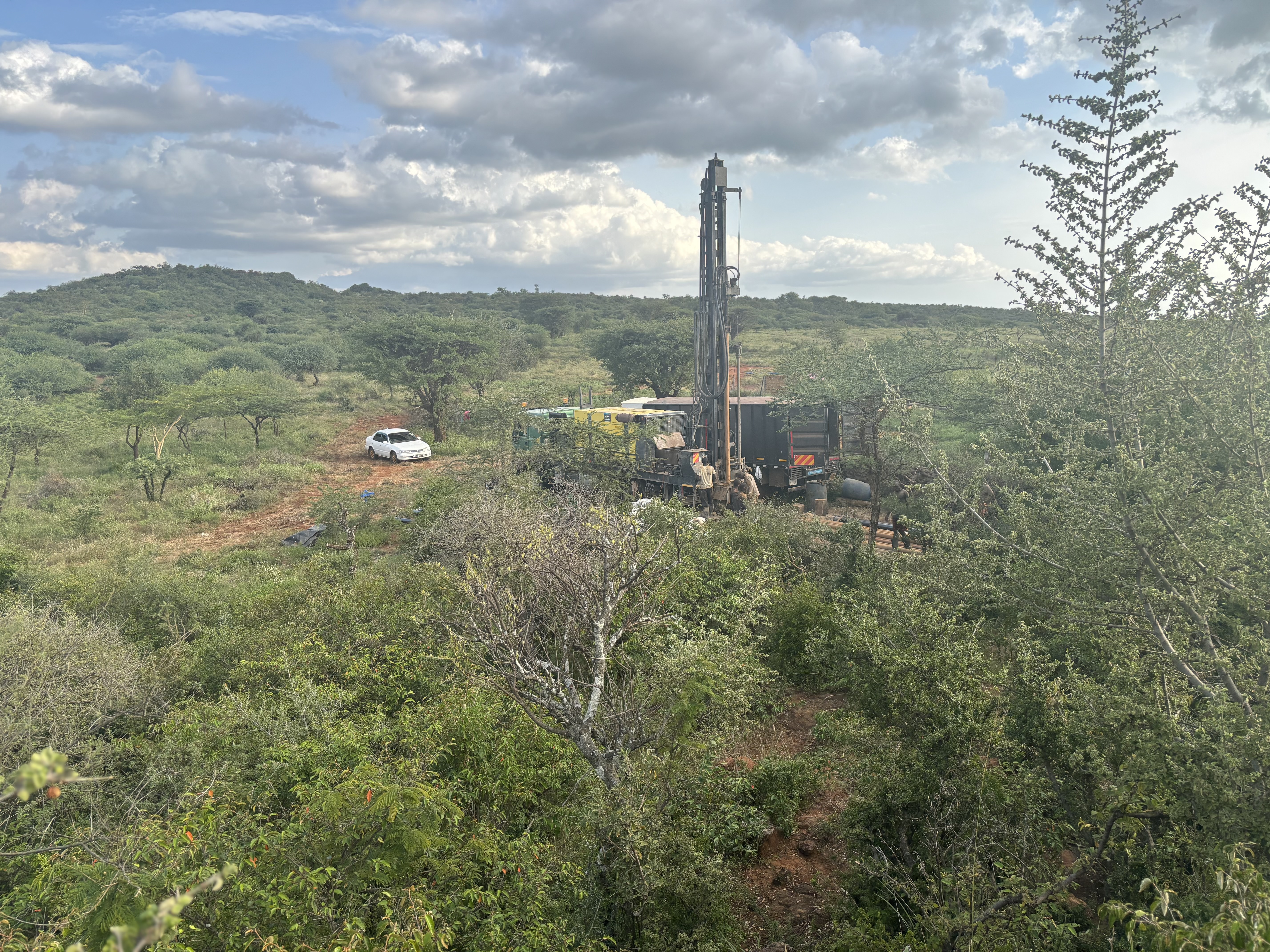
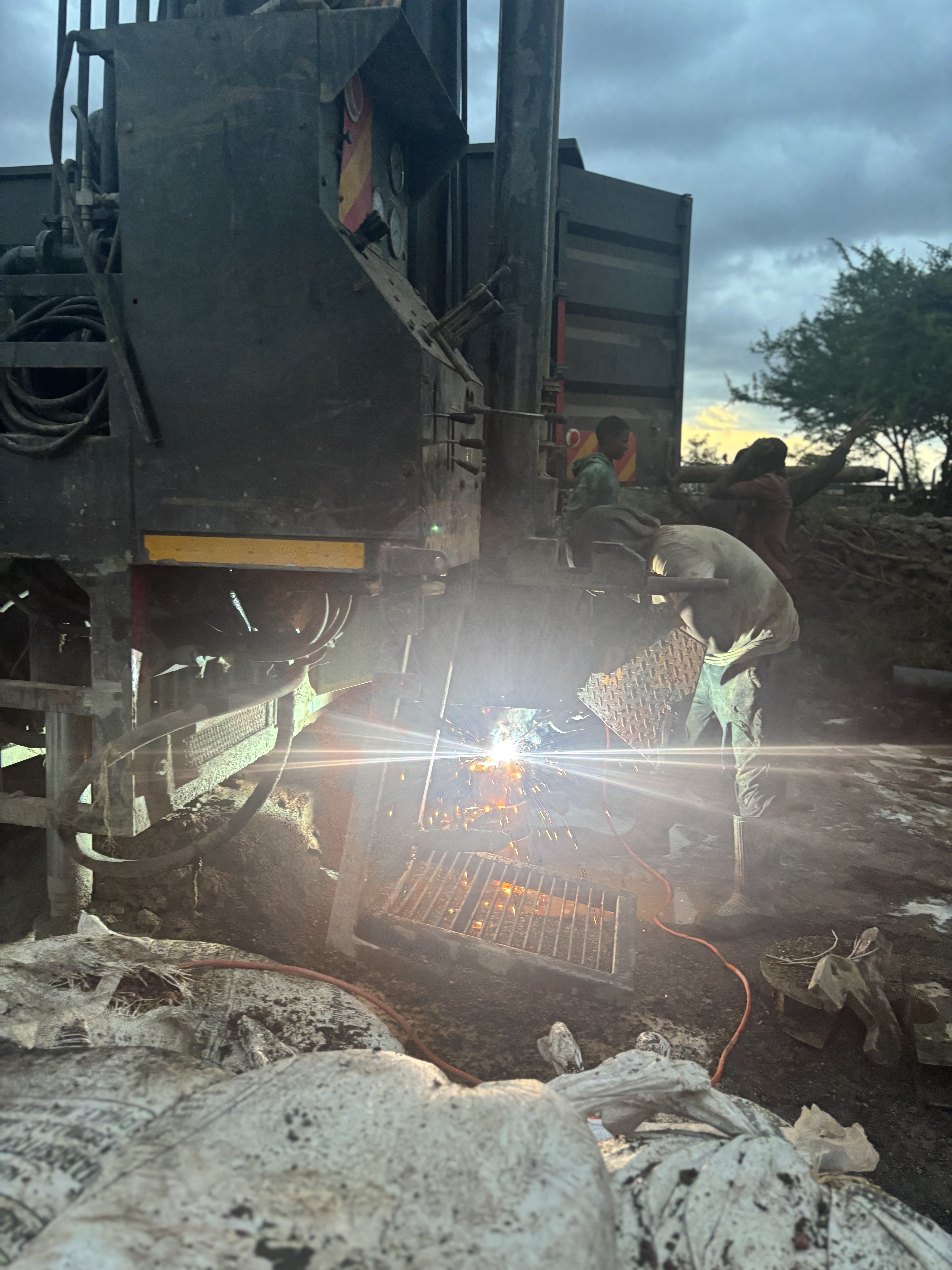
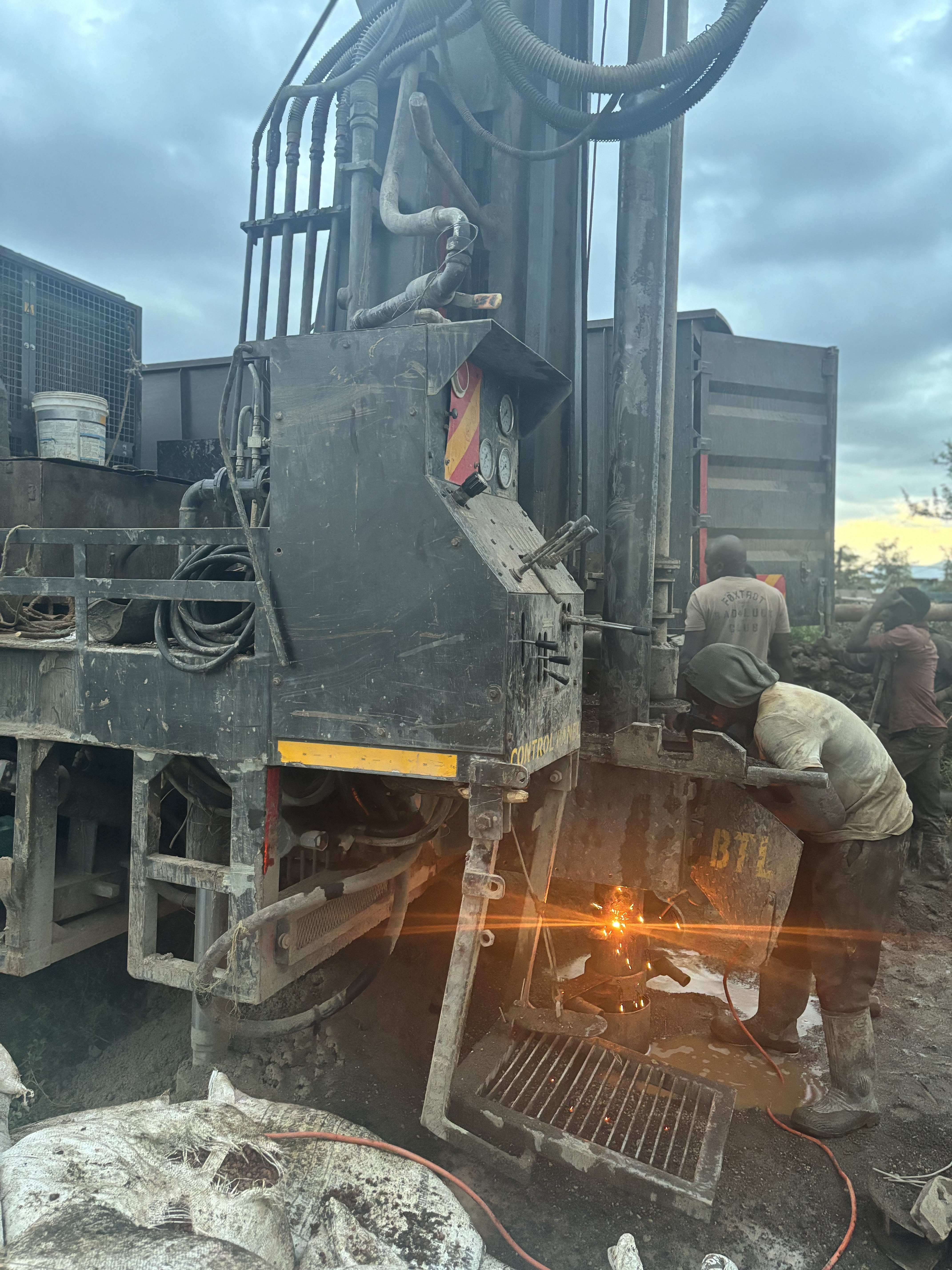
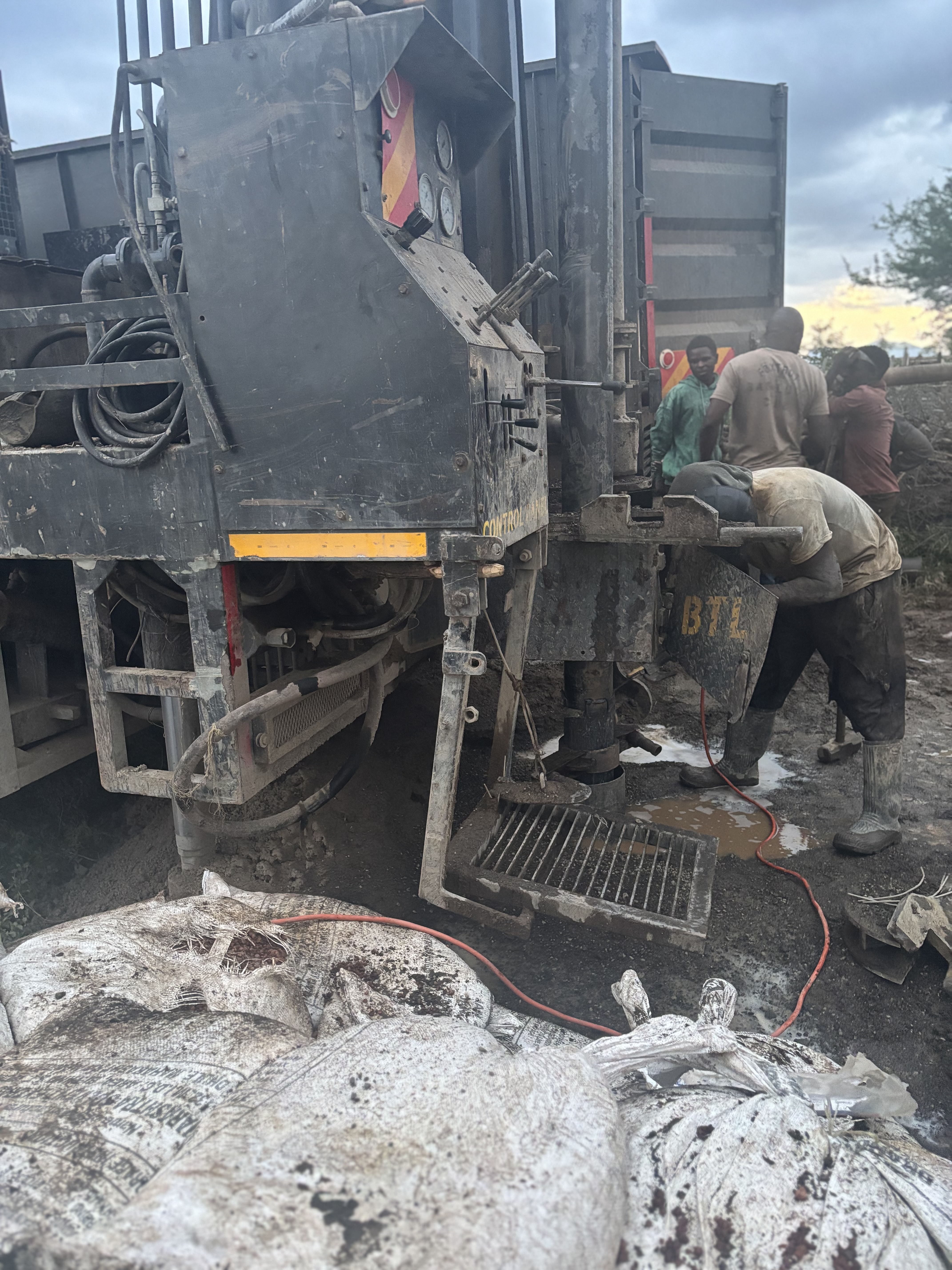
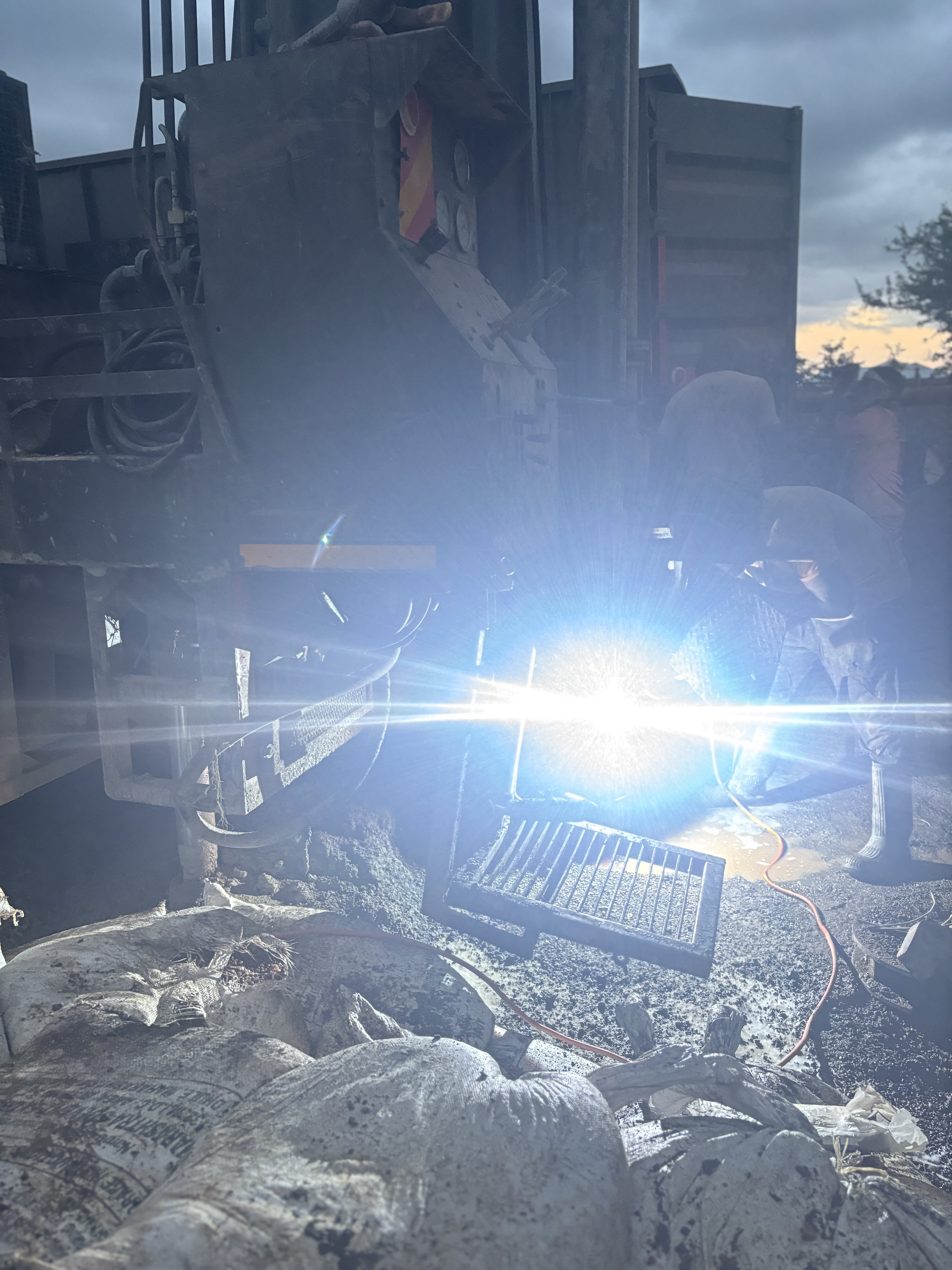
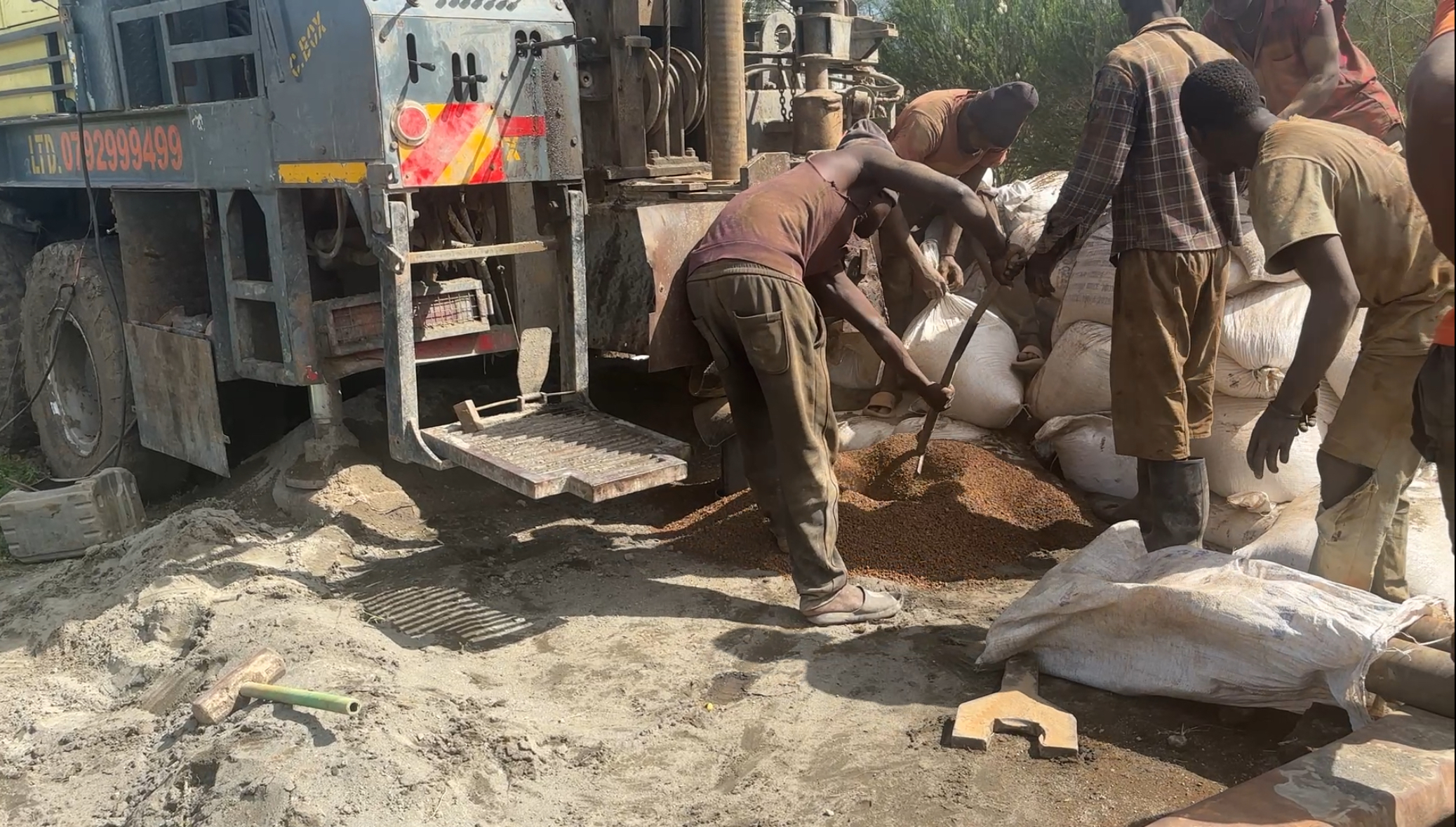
Stop at 200 m with no returns?

That is the version of this story where the client gets a partial borehole, no real water, and a bill for "we tried". In Suswa terrain, the upper 240 m never tells the full story. Stopping early here is the most expensive thing a contractor can do.

The Kisima call

Drill through every cave to 300 m

We pushed past the cave-pocketed upper formation, hit the closed production zone the survey predicted, and developed the borehole to a confirmed 6 m³/hr. The client got the well they were promised — not the one the formation tried to talk them out of.

What 6 m³/hr does at Saikeri

Enough water for a herd, a field, and the seasons in between.

Saikeri is rangeland — Maasai livestock country with growing pockets of small-scale agriculture. A reliable 6 m³/hr borehole at this depth changes what a homestead can do with the land.

Six cubic metres an hour — six thousand litres every hour the pump runs.

Run the pump a few hours a day into storage, and you have all the water a working homestead needs — livestock watered through dry months, kitchen gardens turned into producing plots, and headroom for growth.

Livestock Cattle, sheep and goats watered year-round, including the dry season
Kitchen garden Vegetables and small orchard for the homestead, even in dry months
Small-scale irrigation Drip or sprinkler patches sized to the borehole's daily yield
Domestic supply Compound water always available, sized for family + workers

Other contractors told us this ground was too risky — too many caves. Kisima studied the survey, drilled right through the caves to 300 metres, and gave us water at six cubic an hour. My cattle drink, my crops grow. This is a different farm now.

Volcanic ground around Suswa, Magadi, or Naivasha? You need a contractor who reads caves correctly.

Suswa, Longonot, Magadi and the broader Rift Valley volcanic terrain all share the same trick: deep aquifers hidden under formations full of voids and caves. Kisima has drilled them — and we let the survey, not the returns, decide when to stop.

WhatsApp Kisima Call +254 710 254 502
More case studies

Other tough-formation drills.

Location

Saikeri, Kajiado County

Saikeri livestock & irrigation borehole Saikeri, Kajiado County, Kenya — on the Mount Suswa volcanic shoulder